
How to Search Charleston Records
An address inside the city limits does not mean City Hall holds everything. Start with the Kanawha Assessor IAS portal. It lists the owner of record, parcel number, mailing address, assessed values and deed reference. The County Clerk keeps the recorded deed. The Clerk also holds any plat. Open the WV Property Viewer. It shows E-911 addresses, parcel shapes and neighboring lots. Charleston Building or Planning handles permits, zoning, addressing and boundary questions after that.
Tie the city and county results together with the same street address and parcel description. If an address search comes up empty, search the street name in IAS. Compare the map ID. A downtown lot often carries a lot-and-block description. A hillside or river-edge tract may be irregularly shaped or point to a separate plat. Get the parcel number settled before going further.
- Search the county assessor by Charleston address, owner or parcel.
- Copy the parcel ID, owner, legal description and deed book/page.
- Review the WV Property Viewer for E-911 addresses and flood context.
- Confirm a transfer with the County Clerk deed record.
- Ask Charleston Building or Planning about city permits, zoning or addressing files.
Charleston serves as both county seat and state capital. The Census 2020 incorporated-place table puts the population at 48,864. A city mailing name is only an address clue, though. The parcel and the municipal map decide which jurisdiction actually holds the local permit file.
Where Charleston Records Are Kept
County records document ownership and assessment. City records add permits, zoning maps, site plans, address assignments, annexation requests, historic-landmark review and right-of-way work. Charleston property records therefore have two custodians rather than one combined database. Identify the county parcel card and recorded deed first. A city permit search makes more sense once those are in hand.
Kanawha County Custodians
County Clerk, 409 Virginia Street East
Charleston, WV 25301
Clerk: (304) 357-0130
Assessor real estate: (304) 357-0256
Charleston Building and Planning
Building: 915 Quarrier Street, Suite 5
Planning: 915 Quarrier Street, Suite 1
Building: (304) 348-6833
Planning: (304) 348-8105
Charleston Planning is open Monday through Friday, 8:00 a.m. to 5:00 p.m., and lists planning@cityofcharleston.org as its contact. The building page describes applications and permit categories. It publishes no public historical permit search, so ask staff directly which files can be inspected or copied.
Charleston Neighborhoods in Records
Neighborhood names help orient a search. Only a recorded plat or legal description, though, establishes a parcel's formal subdivision name. The areas listed here are lenses drawn from city record sources. They are not a verified subdivision roster. Use the IAS parcel card to pin down the actual lot. Pair it with the County Clerk plat to confirm the block.
| Neighborhood or area | Record lens | How it appears in records |
|---|---|---|
| Downtown and Capitol district | Older urban parcels | Check lot and block, street, alley, dedication and deed description |
| East End | Urban lots and historic property context | Use the plat and landmark review overlay where relevant |
| West Side | Street and address history | Compare modern address with deed wording and directory years |
| South Hills | Hillside tracts and subdivisions | Verify the plat name and boundary from the recorded description |
| Kanawha City | River-edge and urban lots | Check E-911 entries, flood context and lot/block references |
| Edgewood and University-area streets | Neighborhood address research | Confirm the actual subdivision name in the Clerk plat record |
A postal city label on a street address settles nothing about jurisdiction. The same street can cross the incorporated line. Compare the legal description, the parcel map and the city boundary before deciding which office holds the file.
Charleston Permits and House History
The Building Department states plainly that construction work needs a permit before it begins. Covered work includes new residential and commercial construction, remodeling, additions, repairs, maintenance, fences, roofs, replacement windows, siding and retaining walls. Driveways, accessory structures, signs, tanks and pumps, plumbing, electrical and HVAC also count. So does excavation in the city right-of-way. A permit explains why a house or site changed. It does not show who owns the property. Pair it with the county deed records.
Applications go to the Permit Coordinator at 915 Quarrier Street, Suite 5. Permit payment can happen online when no B&O-account issue exists. The applicant must have the permit number. After payment confirms, a copy goes out by email, fax, mail or pickup in person. The city publishes no public multi-field permit-history index.
The Charleston Building Department permit page describes the work categories. It also covers the application route for permit requests.
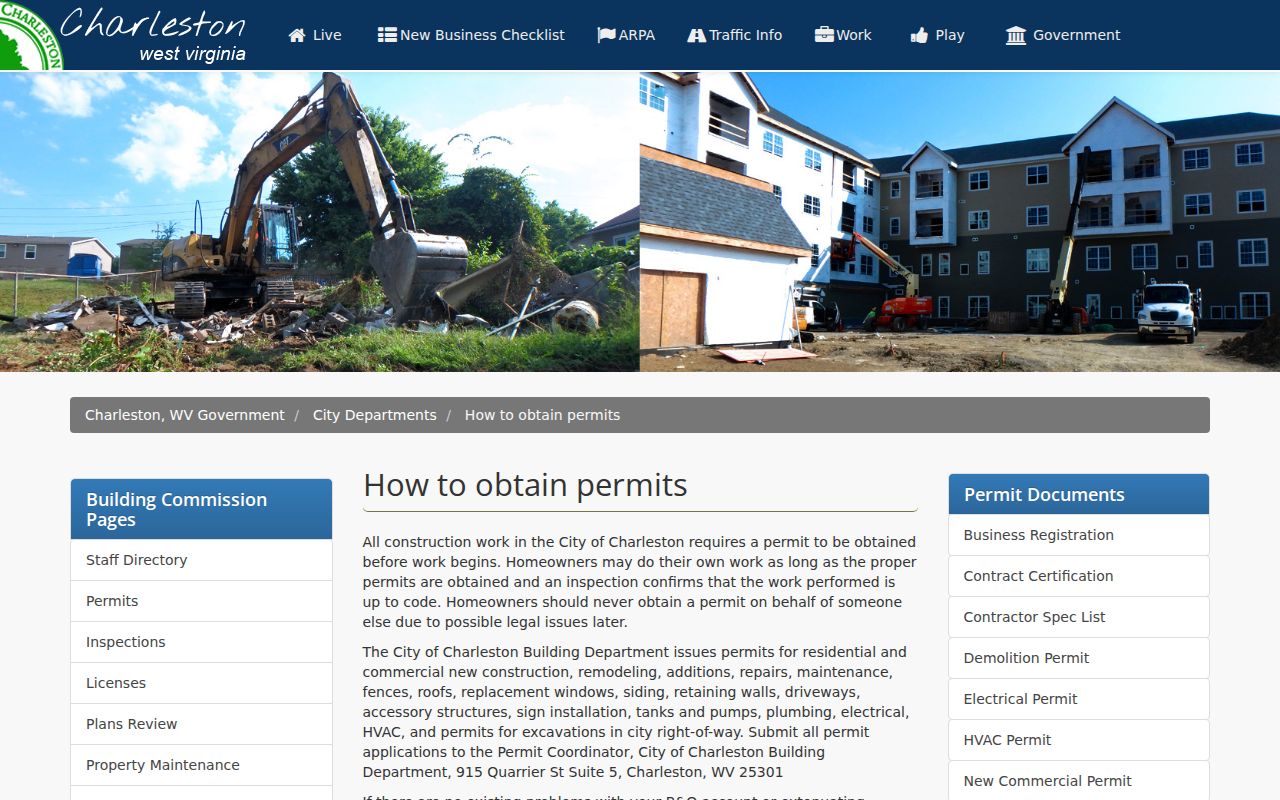
For an older permit file, send the address and county parcel ID to Building. Ask whether inspection reports or plans are stored as separate records.
Request Charleston Permit Details
The city publishes no public historical search form, so send Building a focused request with the address and county parcel ID. Ask whether plans, permit copies, inspection reports and final approvals are kept separately. The details that follow help staff identify a file; treat them as request suggestions rather than fields on an online form.
| Request detail | Why to include it |
|---|---|
| Situs address and parcel ID | Distinguishes similar street numbers and adjacent lots |
| Permit number, if known | Needed for online payment and copy routing |
| Approximate year and work type | Narrows additions, roof, fence or demolition files |
| Owner, applicant or contractor name | Can help identify a file when address data changed |
| Inspection status and final date | Separates an application from completed work |
| Plans and delivery preference | Asks whether drawings exist and how a copy can be sent |
Construction fees are waived for work costing up to $2,500. Above $10,000, a contract certification is required when no existing contract is in place. Sign fees begin at $50. Demolition requests need an asbestos report plus storm or sewer lateral information. Ask the Building Department first. Get the current fee schedule before filing.
Charleston Zoning Map and Wards
Charleston Planning keeps the city's official zoning map. It also reviews site plans and zoning permits. The map application supports a full-address search. You can also click a spot to identify a district. The city warns that zoning may change after a rezoning. Confirm any screen view with Planning whenever a current decision is at stake.
A zoning district is a land-use classification. That label is not a title, a deed restriction or an assessed value. An old parcel can carry historic lot lines beneath a current zoning overlay. Compare the city map with the county parcel data and the recorded plat. Do not read a map label as a property transfer.
The Charleston zoning and ward map accepts a full address or a map click. It is a good first stop for a land-use question.
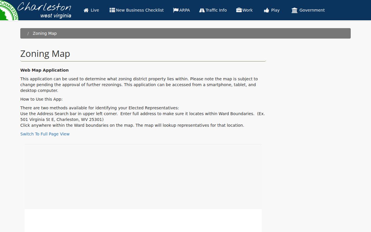
The Charleston Planning Department maintains the official zoning map. Use this source to confirm the current city context behind any map label before a land-use decision.
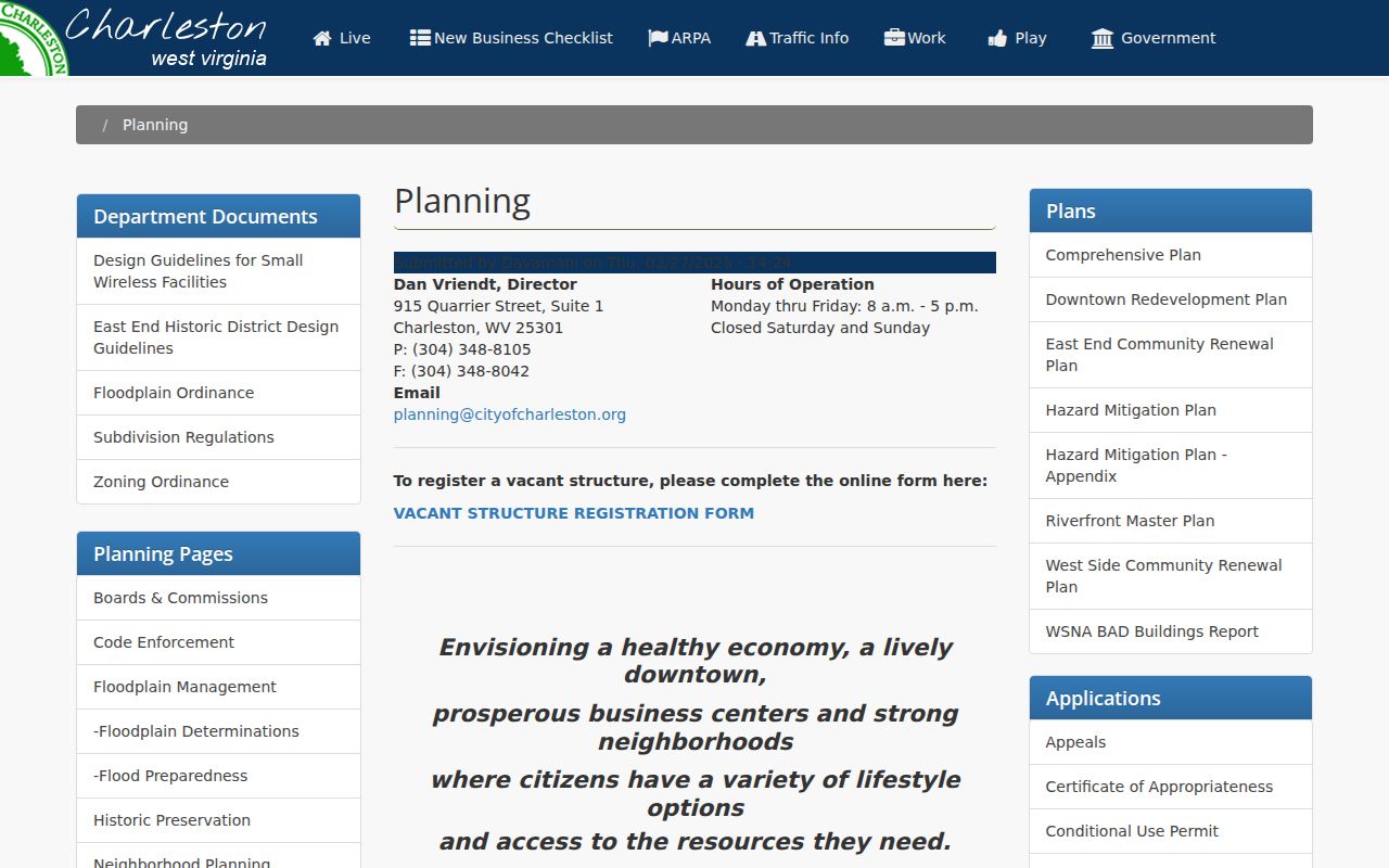
Planning, not the Clerk, answers zoning and boundary questions.
Charleston Address and Annexation
Charleston routes several functions through Planning at (304) 348-8105. The list covers addressing assignments, annexation requests, historic landmarks, floodplain management, neighborhood planning, rezoning and subdivision or boundary adjustments. These come up for a parcel at the city edge or one with a changed street label. A mailing city settles nothing about the municipal boundary.
Compare the city zoning map with county GIS first. Then ask Planning to confirm the annexation or addressing history. No complete chronology is published. A ZIP code or neighborhood name will not settle a legal boundary question.
A parcel can also carry more than one E-911 address in the WV Viewer. Write each one down. Then match them to the assessor card and plat.
Charleston ZIP and City Lines
Charleston official sources use ZIP 25301. County addresses nearby carry other postal labels, such as Cross Lanes 25313 or Sissonville 25312. No complete Charleston ZIP, PO-box or unique-ZIP inventory exists. Postal geography is not a municipal boundary. A Charleston mailing city does not prove the land sits inside the city limits.
Check a mailing ZIP with USPS first. Take the municipal polygon to Charleston Planning and ownership to the County Clerk or Assessor. The city page's 2020 Census population is a place statistic, not a count of county parcels. A census figure alone will never settle a parcel question.
An older address that no longer matches may reflect renumbering or neighborhood change; the Clerk plat and the Polk directory can explain that context. Neither replaces the current city boundary map.
Charleston Directories and Addresses
The Kanawha County Public Library holds Polk's Charleston City Directories. These cover the city and neighboring suburbs from 1908 to the present. An entry can list a name, household notation, occupation, employer and street address. Some carry an owner, renter or widow marker. The abbreviation key shifts by year. A directory entry is occupant evidence, not proof of ownership.
For an older East End, West Side or Kanawha City property, search several directory years. Work around the deed date. A changed house number can mean a move, a renumbering or a different subdivision. Write down the exact street, initials, year and page. Ownership still gets verified in the Clerk's instrument.
The library local history collection connects directories, obituaries, newspapers and Archives resources. Some newspaper access depends on library use.
Library sources connect an old Charleston street address with a name. Ownership still takes a county deed check in the Clerk's records.
Charleston Values and Recorded Sales
An assessor's card and a deed tell different halves of a property's story. The card lists land, building, and total values. The deed names the transfer parties and the consideration that was recorded. West Virginia assesses at 60 percent of true and actual value each July 1. A three-year physical review cycle repeats. A downtown renovation or a hillside change can shift market interest. The tax card can catch up late.
For assessment figures, use IAS. For a sale, use the Clerk instrument. The Sheriff's tax ticket handles payment and delinquency questions. One caution: the permit applicant, the taxpayer, the grantee, and the owner fields can name four different people. Treat them as separate threads rather than one owner conclusion.
A Charleston historic district or zoning overlay matters for project review. It is not the deed, though. Take that layer to the city Planning file. Leave the transfer to the county record.
Limits of Charleston Property Records
A city permit explains a roof, addition, fence, demolition or right-of-way project, but it never proves ownership. A zoning map can shift after a rezoning. A library directory shows who was listed at an address, never who held title. The assessor card is a roll entry. The deed records the conveyance.
Use Charleston property records for lawful due diligence, property history, maintenance and civic review. Confirm a transfer with the Clerk. Confirm a permit with Building, zoning with Planning, and a line with a recorded plat or survey.
Public records are not a title search or boundary survey. Use them lawfully and do not use an owner name or address to harass or harm anyone.