
Kanawha Parcel Map Layers
The WV Property Viewer offers the richest public mapping for Kanawha County parcels. It layers E-911 address data over IAS owner and parcel attributes. Search by address, parcel, or geometry. Then switch on only the layers your question needs. A neighborhood view reveals one kind of context. A tax-district map reveals another. A flood screen shows still more. Each layer frames the same parcel differently.
| Layer or tool | What it shows | Useful for |
|---|---|---|
| Property parcels | Tax/reference parcel geometry | Finding adjoining lots and map IDs |
| Tax district | Assessment or levy district boundary | Understanding local tax context |
| Address labels and E-911 | Road labels and location points | Matching a building to a parcel |
| Flood zones | Primary flood-zone reference | Screening for a flood question |
| Reference layers | Roads, community and local geography | Orienting a parcel in its area |
| Point, Rectangle, Polygon | Geometry used to select parcels | Finding nearby parcels in a set area |
| Measure and print | Preliminary map distances and a saved view | Research notes, not survey work |
The West Virginia Property Viewer includes toggles for parcels, address labels, and flood zones. Treat flood data as a screening clue. The viewer links to the state flood tool for a closer look. A visible layer still does not make the line a legal boundary.
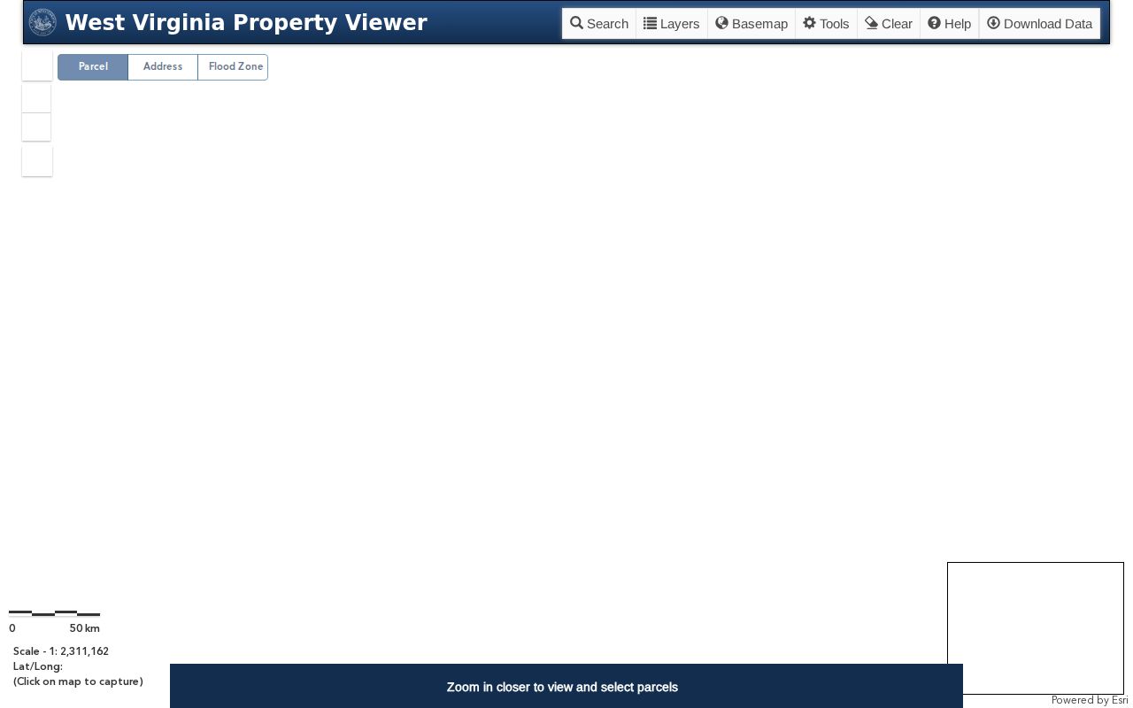
Zoom to a scale near 1:18,056 or closer and the parcel boundaries come into view for identification. The zoom, locate, full extent, measure, print, bookmark, and share controls let you build a repeatable view. Save the map link and date if you need to compare against a later update.
Find a Kanawha Parcel by Address
Start with Search by E-911 Address for a physical location. Enter the street address, city, and West Virginia. The viewer warns that a PO box or rural route is not an E-911 address. If the match fails, open the parcel attributes. Select Kanawha County, then try Property Address with just a street name or a looser address. The Assessor notes that IAS property addresses can be incomplete.
Several parcels may come back at once. Compare the owner, legal description, community, and map links on each. A corner site or large property can carry more than one E-911 address. A single parcel can hold several buildings or stacked map geometry. Identify the assessment parcel from the card. Then keep its GIS ID beside the full IAS parcel ID.
- Search the full E-911 address and record the matching parcel result.
- If no result appears, search the street name in Kanawha parcel attributes.
- Open the detail panel and compare legal description, owner and E-911 addresses.
- Copy the GIS ID and parcel ID before leaving the map.
- Confirm a legal description or line with the recorded plat or survey.
The Kanawha County property search page covers the full owner and address lookup flow, including IAS search modes. This map page sticks to location, layers, and spatial limits.
Geometry and Kanawha Neighbors
Geometry search selects parcels by Point, Rectangle, or Polygon. A Point buffer is the practical choice around one known spot. Draw a small shape and work through the result list. Each row can be highlighted or opened on the map. The statewide viewer caps results at 1,000. Narrow a broad polygon before using the set.
This helps when a street search returns several lots. It also helps when the question is really about the parcel beside a subject property. You can compare a row of downtown lots against a larger hillside tract. Or set it against a river-edge parcel. Map selection gives orientation, not a legal claim that two parcels share a boundary.
For a block study, write down each neighboring parcel ID and owner field on its own line. Then check each card against the Clerk and plat records. Do this whenever a neighbor's ownership or lot line matters.
Kanawha Parcel Number Format
The IAS parcel key combines a map number, parcel number, suffix, and special parcel ID. Four-digit segments are padded by leading zeroes. The viewer's example, 2001100010000, breaks down as 2-0011-0001-0000. That illustrates the format only; it is not a specific Kanawha parcel. The county pages publish no complete local district or map-prefix allocation.
Always search with the exact number from the card or map. Try the full ID with or without hyphens. Or use the county and district plus map, parcel, and suffix controls. Identifiers can change after splits, combinations, annexation, plats, or system updates. Keep the deed's description as a separate key. A new number should never erase the historic trail.
- GIS ID
- The map system's identifier for a mapped parcel feature.
- IAS parcel ID
- The assessor's structured tax-parcel key.
- Tax district
- A mapped assessment or levy area used for county records.
- Parcel
- A unit tracked on the assessment roll and map.
Details on a Kanawha Map Result
A selected result can show GIS ID, owner, physical address, class type, legal description, and community. It may also offer map links, an IAS link, a flood tool link, and the parcel's E-911 addresses. Expanded panels may add building data, cost values, and appraised values. The IAS card contributes the mailing address, deed book and page, tax class, land use, sale ranges, and more.
Use this inventory to match the right parcel, not to settle title. The Owner field reflects the assessment roll. The map gives location. The legal description points to land-record language. The deed book and page reference can lead to a Clerk record. Every field can help while still being incomplete or out of date for another purpose.
A map panel may list several E-911 addresses. Note each one and ask whether they share a single tax parcel. A commercial building or multi-unit site may have several entrances or structures. Stacked floors can display imperfectly, and the viewer itself warns that data may be incomplete.
Plats and Kanawha Lot Lines
The County Clerk holds plat records. They explain the subdivision plan behind a lot-and-block legal description. A plat can show streets, blocks, lots, dedications and easements. Newer Kanawha deeds lean on lot, block and subdivision language. Older Kanawha County property records often describe land with metes and bounds, waterways or survey numbers. Some cite adjoining owners instead.
Begin with the legal description on the assessor card. Note any deed book and page reference. Search the Clerk for the matching plat or deed record. Then set the recorded plan beside the map viewer for comparison. State Archives survey and entry books cover early land. They add original context that property records alone may not carry. Transcribe every call and neighboring tract faithfully. A colored line on the tax map should never replace the source description itself.
The map-card viewer can bridge older text and a current parcel. When a GIS result will not match an older lot number, ask the Assessor. Ask for the correct card or tax map.
Address and City Boundary Checks
Situs, mailing address, legal description and municipal location each mean different things. A property can carry a city name for postal delivery. It can still sit outside the incorporated line. A ZIP is postal geography. It is not a legal parcel boundary. When city jurisdiction matters for a permit or zoning question, compare the county map with the municipal boundary. Then contact the city's Planning or Addressing office.
Charleston Planning handles address assignments, annexation requests, subdivision and boundary adjustments. It also covers floodplain matters and zoning questions. Its map supports a full-address search or a map click. The city warns that zoning can change after a rezoning. South Charleston and St. Albans publish no confirmed public permit or zoning search page. Contact the city records custodian directly rather than assuming Charleston's system applies.
Frame the question with the parcel geometry. Then confirm jurisdiction with the office that holds the relevant record.
Kanawha Map Limits and Surveys
The Kanawha Assessor states that its digital and paper maps come from official records, surveys and deeds. They hold only the information needed for assessment. The county GIS disclaimer says the maps serve assessment use. They represent no survey and carry no warranty. The statewide viewer also notes that data may be incomplete.
Map tools suit orientation, rough area measurement and parcel identification. A point, buffer or measured line is not a legal boundary. A flood layer is not a final insurance determination. An easement may sit in a deed or plat without showing plainly in the display. When a fence, driveway, retaining wall or right-of-way depends on a boundary, it is time for certainty. Obtain the recorded plat. Then consult a licensed surveyor.
Kanawha parcel maps are tax and reference tools. They do not establish title, survey a lot or settle an easement dispute.
Keep the map link, parcel ID, legal description and date in your notes so a professional can check the same location against the source documents.
Kanawha GIS Coverage and Updates
The WV Property Viewer covers all 55 counties. It draws parcel attributes from IAS. Address information comes from the statewide addressing system. The Kanawha Assessor also links a county GIS experience and map cards. The county experience can fail to load data or create a map. The statewide viewer tends to be the more dependable route.
Kanawha County offers no stable bulk parcel shapefile or open-data download. A public screen does not imply a licensed bulk dataset. For data questions, ask the Assessor GIS office whether an export exists. Also ask what current terms apply. A map display can stay public while a download route remains closed.
After a replat, annexation, split or street renumbering, text and map layers may lag each other. When two systems disagree, rely on the recorded plat. Check the deed too. Confirm with the office.
Kanawha Historic Map References
The State Archives lists Kanawha survey books from 1788 to 1861. It also holds early entry books, plus separate deed, index and land series. These materials matter when an old description lacks a modern street number. The Assessor's Land Book Viewer offers year, book/district and page fields for land books advertised from 1791 through 1962. It is a deep well for historic property records.
Tax books and survey books are distinct sources. A land book can place an owner in a tax district and year. A survey or deed explains how a tract was laid out. Pair a historic reference with a modern card only after confirming the legal description covers the same land.
For a line or title conclusion, trust recorded deed and survey sources. Do not rely on any historic or current tax map instead.