
How Kanawha Property Records Start
Match the record to the question first. An address is a fair first clue. An owner name can turn up every parcel tied to a person or company. A parcel ID works best of all, because it moves cleanly between Kanawha County systems. You may not be sure which tool fits. The Kanawha Assessor Property Inquiry is a sensible entry point. It links out to the Assessor Property Inquiry tools. These include the IAS assessment search, the land books and the map cards. Those connections matter when the right Kanawha record system is still unknown.
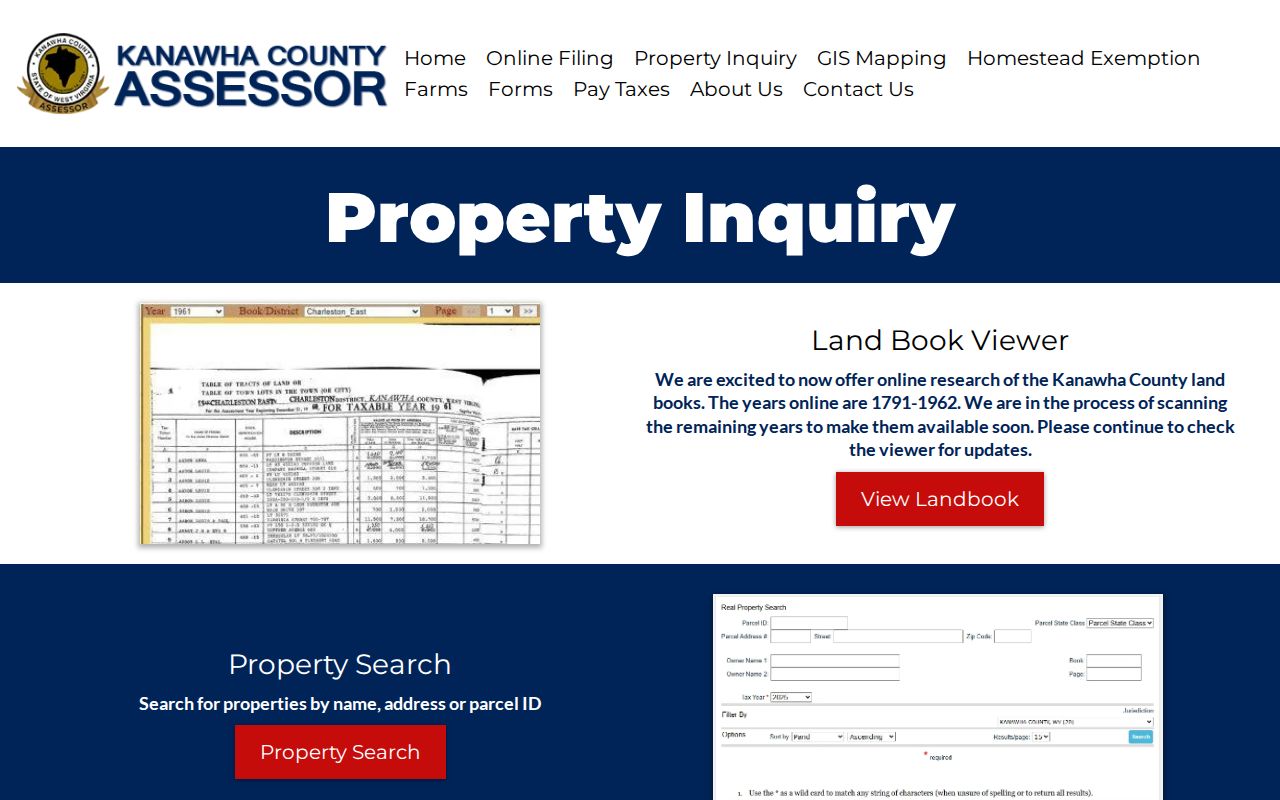
Once you have the right property in view, open the West Virginia IAS assessment search. It carries the detailed owner and parcel fields for the parcel.
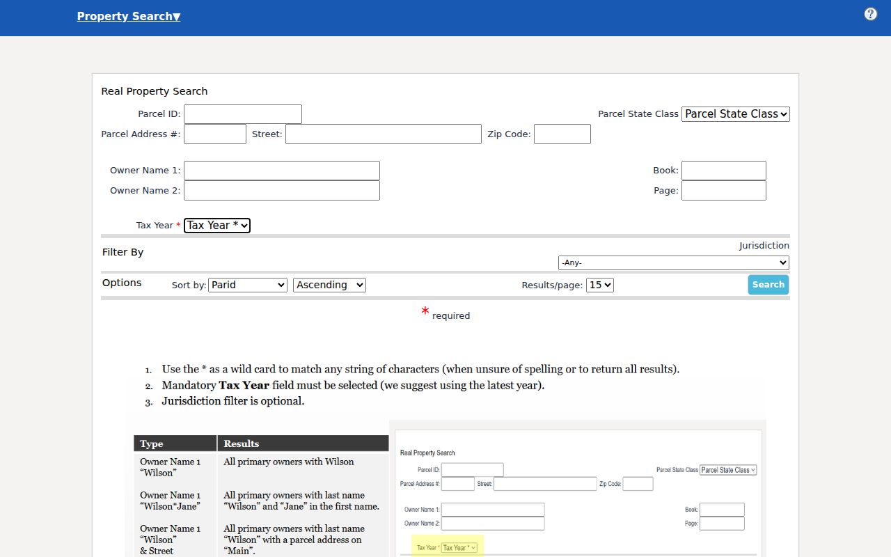
These screens identify a parcel. They do not replace the recorded instrument or a custodian check.
Search the assessor first for most ownership questions. Copy the owner field, parcel ID, legal description and deed book and page from the card. Then take those values to the County Clerk index and check the recorded instrument itself. For tax status, turn to the Sheriff. For map context, use the WV Property Viewer. Keeping that order prevents a tax-roll entry, a deed and a payment status from being read as the same kind of evidence. Each record answers a different question in Kanawha County.
- Search the assessor by address, owner or parcel ID, and save the parcel card details.
- Compare the situs address, mailing address, map number and legal description.
- Use the deed book/page or party name to locate the instrument at the County Clerk.
- Open the WV Property Viewer for parcel geometry, E-911 addresses and nearby features.
- Check the Sheriff tax portal when the question concerns a bill, receipt or delinquency.
Kanawha County Property Offices
County offices hold the records. Even so, a parcel may carry a Charleston, South Charleston or St. Albans address. The Kanawha County Clerk records land instruments. The Assessor keeps the assessment roll, land books and tax-map data. The Sheriff Tax Division takes in tax payments and handles delinquent-tax work. Circuit Court records can matter whenever title, liens or estate transfers are disputed.
Kanawha County Clerk
409 Virginia Street East
Charleston, WV 25301
Main: (304) 357-0130
Record room: (304) 357-0240
Kanawha County Assessor
Real estate: county office
Charleston, West Virginia
Real estate: (304) 357-0256
Reappraisal: (304) 357-4662
Sheriff Tax Division
Kanawha County tax office
Charleston, West Virginia
Receipt questions: (304) 357-0210
The Circuit Clerk sits at 111 Court Street in Charleston and answers at (304) 357-0440. Foreclosure, quiet title, partition and lien cases may all appear on its docket. The Clerk's land page lists deeds, deeds of trust, liens, releases, plats, assignments, agreements, affidavits and trustee reports of sale. Search fields, image rules and copy fees are not settled matters. Call the record room before a long visit.
Kanawha Property Record Types
Every record type answers a different question. A property card names the tax-roll owner and value. A deed records an instrument between parties. A tax ticket shows whether taxes were paid. A parcel map puts assessment geometry on a screen. City permit and zoning files add a municipal view of work done or uses allowed, but they say nothing about title.
| Record | What It Documents | Keeper | Access |
|---|---|---|---|
| Deeds, releases, liens and plats | Recorded conveyances, claims and land descriptions | Kanawha County Clerk | WVLandRecords landing page and record room; online years and copy fees need confirmation |
| Assessment card and land book | Owner field, value, class, mailing address and tax-map link | Kanawha Assessor | IAS, map-card links and land-book viewer |
| Tax ticket and receipt | Current bill, payment and delinquency status | Sheriff Tax Division | Online tax portal or office contact |
| Parcel and tax map | Reference geometry, addresses, districts and map layers | Assessor GIS and WV Property Viewer | Public map viewer; not a survey |
| Permit and zoning file | City construction, inspection or land-use activity | City department | Ask the municipality; no countywide city permit index was confirmed |
Pick the office that owns the question. Deed questions go to the Clerk's instrument record. Assessed value and exemptions belong to the assessor. Current taxes sit with the Sheriff. The Kanawha County deed records page walks through the land-instrument route, while the tax and map pages handle their own record sets.
Search Keys in Kanawha IAS
Kanawha's assessor advertises search by name, address and parcel ID. The statewide IAS screen splits into basic, appraisal and sales, advanced, and prior-ownership modes. An incomplete address is not a dead end. A street-name search may still find the parcel. Name searches are the tricky ones. Several owners in Kanawha County can share a name. Narrow the results by street, district, map number or legal description. Don't just grab the first hit.
The assessment search holds more than a name and a street. The indexed screen carries fields that can shift as the live portal changes. Hold onto the parcel ID and the deed book and page. Those values carry you from the assessor to the Clerk.
| Search field | Input | Why it helps |
|---|---|---|
| County and district | County selection and district value | Narrows Kanawha records before searching |
| Owner name | Text, partial name accepted | Tests an individual or entity name |
| Street name | Text | Broad fallback when a full address fails |
| Full parcel ID | Text, whole ID | Exact cross-reference for IAS and GIS |
| Map, parcel and sub-parcel | Parcel-number parts | Separates neighboring or split parcels |
| Deed book and page | Text or number | Points toward a recorded instrument |
| Legal description | Text | Searches lot/block or older land language |
| Sale and appraisal ranges | Date, price or value ranges | Finds assessment and sale clues |
Results can expose class, land use, flood hazard, building year, structures, building area, and sale or appraisal filters. Treat each search field as a way to narrow the roll. No field promises that the underlying documents are online.
Kanawha Addresses and Parcel Cards
Three address concepts need to stay separate. The situs, or physical address, is where the land or building sits. The mailing address is where a tax notice goes. The legal description is the text that identifies the land in the deed. One Kanawha owner may use a mailing address outside the county. A single parcel can carry multiple E-911 addresses. No city name or ZIP code substitutes for the parcel boundary.
The assessor card also shows the Owner or Property Owner field, tax class, land use, map number, parcel and sub-parcel, value ranges and a deed reference. The online system promises no fixed lag between a recording and a card update. Under West Virginia Code §11-4-8, the Clerk must send the assessor a certified monthly transfer list by the tenth day of each month. That statute sets no deadline for the web card. A new deed may still be more current than what the card shows, so the Clerk's record stays the final word on Kanawha County ownership.
- Situs
- The physical location used to identify a parcel.
- Mailing address
- The tax-roll destination for notices, which may differ from the parcel.
- Legal description
- The recorded text for the land, often a lot and block or metes and bounds.
- Parcel ID
- The assessment and map key linking a card to parcel tools.
Kanawha County Land Books
The assessor keeps a separate Land Book Viewer. It has fields for year, book or district, and page. Land books from 1791 through 1962 are posted online. Scanning continues, so coverage keeps growing. These volumes served as tax records. A name, a district, or a land value can survive in them across decades. Still, they never replace the deed that actually conveyed title.
For eras a modern IAS search cannot reach, the Assessor Land Book Viewer earns its keep. Enter the year, book or district, and page from whatever historical reference you hold. Missing those identifiers? The assessor's map card or a Clerk deed description may bridge the gap. Older land often appears under a district and tract description instead of a street number. So expect some translation between eras.
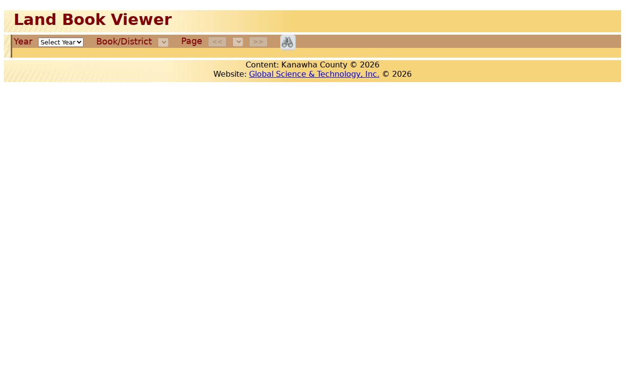
The viewer streamlines historical assessment work. Even so, scans and naming systems will not always line up with today's parcel card. Write down the year, book, page, owner spelling, and legal description so any search can be repeated later.
Read Kanawha Parcel Maps
WV Property Viewer pairs E-911 addressing data with IAS parcel attributes. Searches by address, parcel, or geometry cover Kanawha and every other West Virginia county. Layers for parcels, address labels, tax districts, flood zones, and references help orient you on the map. A Point, Rectangle, or Polygon tool selects nearby parcels. The Point buffer shines when one block matters, not a whole district.
Click a parcel in the WV Property Viewer panel. The display can show GIS ID, owner, physical address, class, legal description, community, map links, and E-911 addresses. Expanded detail adds building information, cost values, and appraised values. Results cap at 1,000. Narrow a broad search with geometry first. Save the map view and date if you ever need to retrace the same spot.
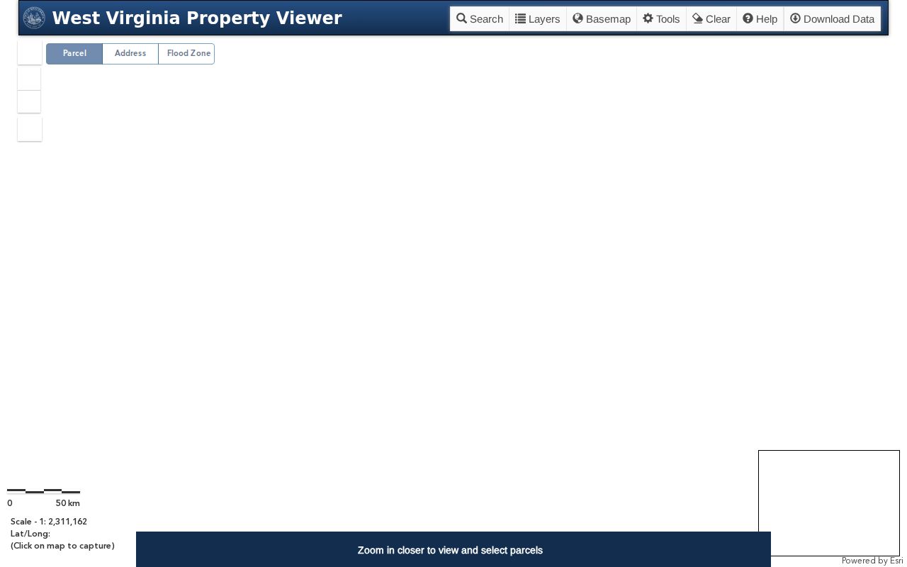
The Assessor GIS page compiles its tax map from official records, surveys, and deeds for assessment purposes. The lines carry no survey warranty. Settle any edge, easement, or legal boundary with a recorded plat or a licensed survey.
Kanawha Value and Assessment Dates
West Virginia assesses property at 60 percent of true and actual value under W. Va. Code §11-3-1. The market concept there is a voluntary sale. A forced sale does not count. July 1 is the assessment date. Under W. Va. Code §11-1C-9, trained assessor staff visit every parcel on a repeating three-year cycle. Those visits catch physical changes and keep values current.
A card's appraised, assessed, and taxable figures can differ. Exemptions like homestead relief may reduce taxable assessed value, while class, land use, and levy district shape the final tax bill. Treat a value field as a tax record, not an appraisal for sale. Compare a recorded sale price with card values by date and field name. Neither figure alone equals current market.
The West Virginia three-year valuation cycle explains why a card changes after review or a physical update rather than with every market swing. Ask the Assessor for current filing and appeal instructions. The office publishes no current county appeal form or date online.
Kanawha Sheriff Tax Records
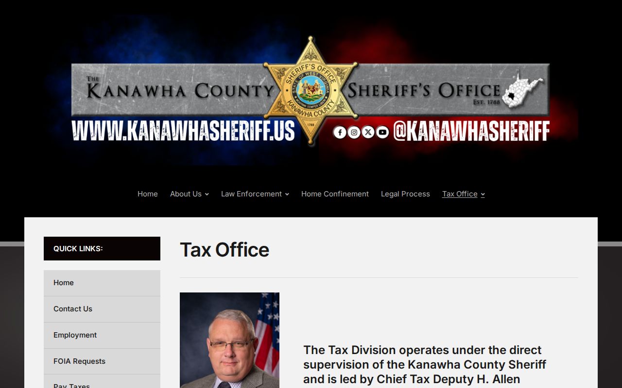
The Sheriff serves as county treasurer for property-tax collection. Through the tax portal, anyone can view or pay real-estate and personal-property tickets. Online payments post immediately. Reprint a receipt with the same email and account number used at payment. Electronic check costs nothing. Card payments carry a 2.4 percent processor charge, with a two-dollar minimum fee.
The Kanawha Sheriff Tax Division handles several other duties. It manages delinquent taxes, annual tax-lien sales, redemptions, and bankruptcy claims. Its page reports about 100,000 tickets at the start of the year. Roughly 2,100 liens go to the November sale. These are operating figures the office reports, not a fixed annual count. Read the current sale notice before acting on any ticket or lien.
A paid ticket proves no ownership. A delinquency alone does not show that a tax deed has issued. Trace a tax sale through the Sheriff, Auditor, and County Clerk records in turn. For processor details, the Sheriff tax payment page lists the online receipt and fee notes.
Historic Kanawha Deed Records
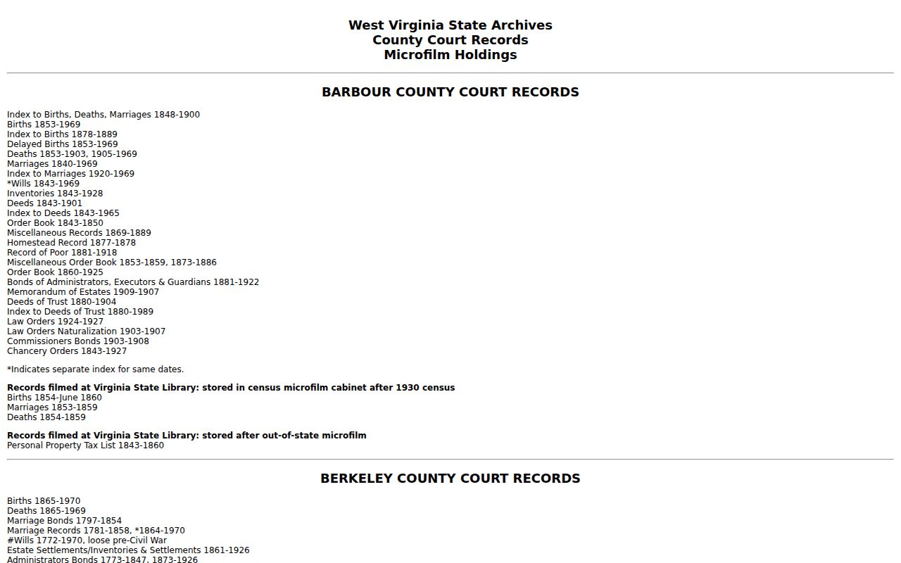
Kanawha's deed history reaches back into Virginia-era land books. State Archives finding aids list deeds from 1757 or 1790 in separate runs. Deed indexes span 1756 through 1969. Grantor indexes run through 1946 in one series, and grantee indexes through 1967 in another. Separate runs do not guarantee every volume survived. Ask for the exact series and year instead of assuming a complete set.
The West Virginia Archives finding aid reaches beyond deeds. It also lists surveys, entry books, trust deeds, releases, leases, delinquent land books, delinquent land-sale records, wills, homestead records, and Spring Hill Cemetery deeds. Written research requests are preferred. Fees run ten units for in-state and twenty for out-of-state research, with copy charges described separately. Give names, county, approximate year, and the record series you need.
Kanawha County deed research usually means working two record sets side by side. The assessor's land books help you place a parcel in a given year and district. The Clerk's deed books go further. They establish the instrument itself and name the grantor and grantee. They also give you a recorded book and page to pull the document.
A grantor or grantee index is the bridge. Use it to find the next link in the chain. Then cite the book and page as your reference.
West Virginia FOIA Requests
Sometimes the record simply is not online. When a Kanawha County portal comes up empty, send a written request to the office that actually holds the file. West Virginia's Freedom of Information Act, W. Va. Code §29B-1-1 and following, sets the timeline. The custodian must respond as soon as practicable, within five days, excluding weekends and legal holidays.
The response can take several forms. The office may hand over the record, schedule an inspection or copy time, or issue a written denial. Fees are limited too. They may cover actual reproduction cost, but not staff search or retrieval time.
Describe the property precisely. Give the street address and parcel ID when you can, plus the records and date range you want. A Clerk request might ask for an index search or a deed image; an Assessor request might seek a map card or a land-book page; a city request might target permits, inspections or zoning files. The West Virginia FOIA routing page is clear on one point: each public body keeps its own files, so the Secretary of State is not a central repository for county records.
Some records carry access limits. Vital certificates, voter data and protected personal information follow separate rules. Ask for the releasable public record, and use the office's current application when identity or relationship proof is required.
Charleston City Records Layer
County ownership records cannot answer every municipal question. Charleston's permit and zoning records fill that gap. The Building Department handles new construction, additions, repairs, fences, roofs, windows, siding, retaining walls, driveways, accessory structures, plumbing, electrical, HVAC and right-of-way excavation. Its application route lists an office address and phone. The department publishes no public historical search form, so ask the city directly what permit or inspection files exist for an address.
Planning keeps the official zoning map. That office also handles site plans, zoning permits, addressing assignments, annexation requests, floodplain questions, historic landmarks and subdivision or boundary matters. Search the address in the map first. Then confirm the result with Planning, because zoning can change after a rezoning. Other Kanawha municipalities keep their own zoning and building records. The County Clerk remains the source for the deed.
For older addresses, the Kanawha County Public Library holds Polk's Charleston directories spanning 1908 to the present, including neighboring suburbs. A directory can tie a historic address to an occupant or business. It is not proof of title. Compare any name match against a deed, assessment card or permit before treating it as a transfer.
Limits of Kanawha Property Records
Kanawha County property records support real work: title research and family history. They also serve property maintenance and civic review. Their limits matter just as much. An assessor card shows a tax-roll owner and value fields, not a complete title opinion. A map line is a reference boundary, not a survey. A tax receipt proves payment, not ownership. A permit shows work a city approved or reviewed, not who holds the land today.
- Grantor
- A party transferring an interest in a deed.
- Grantee
- A party receiving the interest named in the instrument.
- Plat
- A recorded plan that lays out lots, blocks, streets or easements.
- Assessed value
- A tax figure set under state assessment rules, distinct from sale price.
Use records lawfully. Confirm a legal question with the proper custodian, title professional or surveyor. Do not use owner information to stalk, threaten or harm a person.
West Virginia's Address Confidentiality Program allows eligible participants to use a substitute address. A public roll may therefore not show a residence. Respect that boundary, and do not try to infer a protected location from other property records.